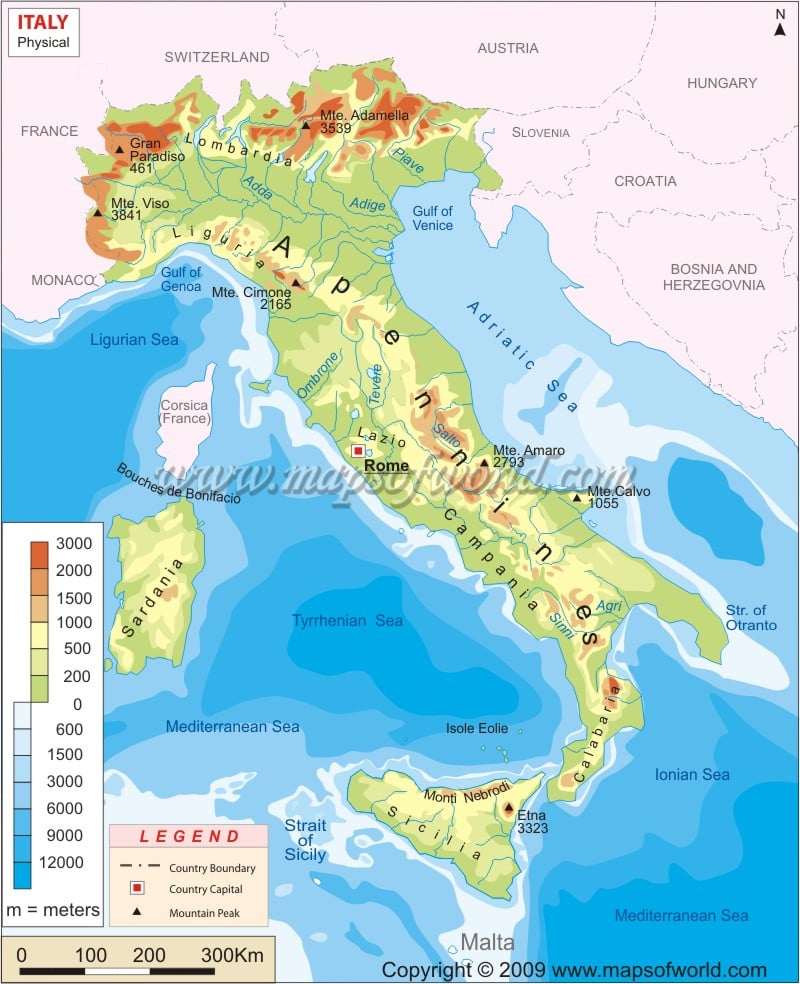
Geography & Location of italy
Italy is a Mediterranean country in the south of Europe. Its west coast is the Mediterranean Sea and the east coast is the Adriatic. France, Switzerland, Austria, and Slovenia form its northern border. Its highest point, in Monte Bianco, is 4748 meters. The mainland is a peninsula and Italy also includes the two large islands of Sicily and Sardinia.
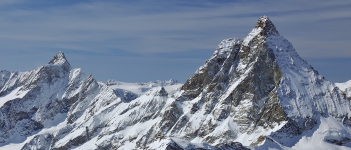
Mountain Ranges
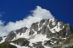
The Geography of Italy has two mountain ranges, namely the Alps and the Apennines. The Apennine mountain range is the literal backbone of the country, surrounding the north-western parts, from where it goes to join the Alps. The natural position of both these mountain ranges acquires the shape of an arc and this semicircular topography strengthens the northern boundaries of Italy against ant possible foreign invasions and encroaches.
